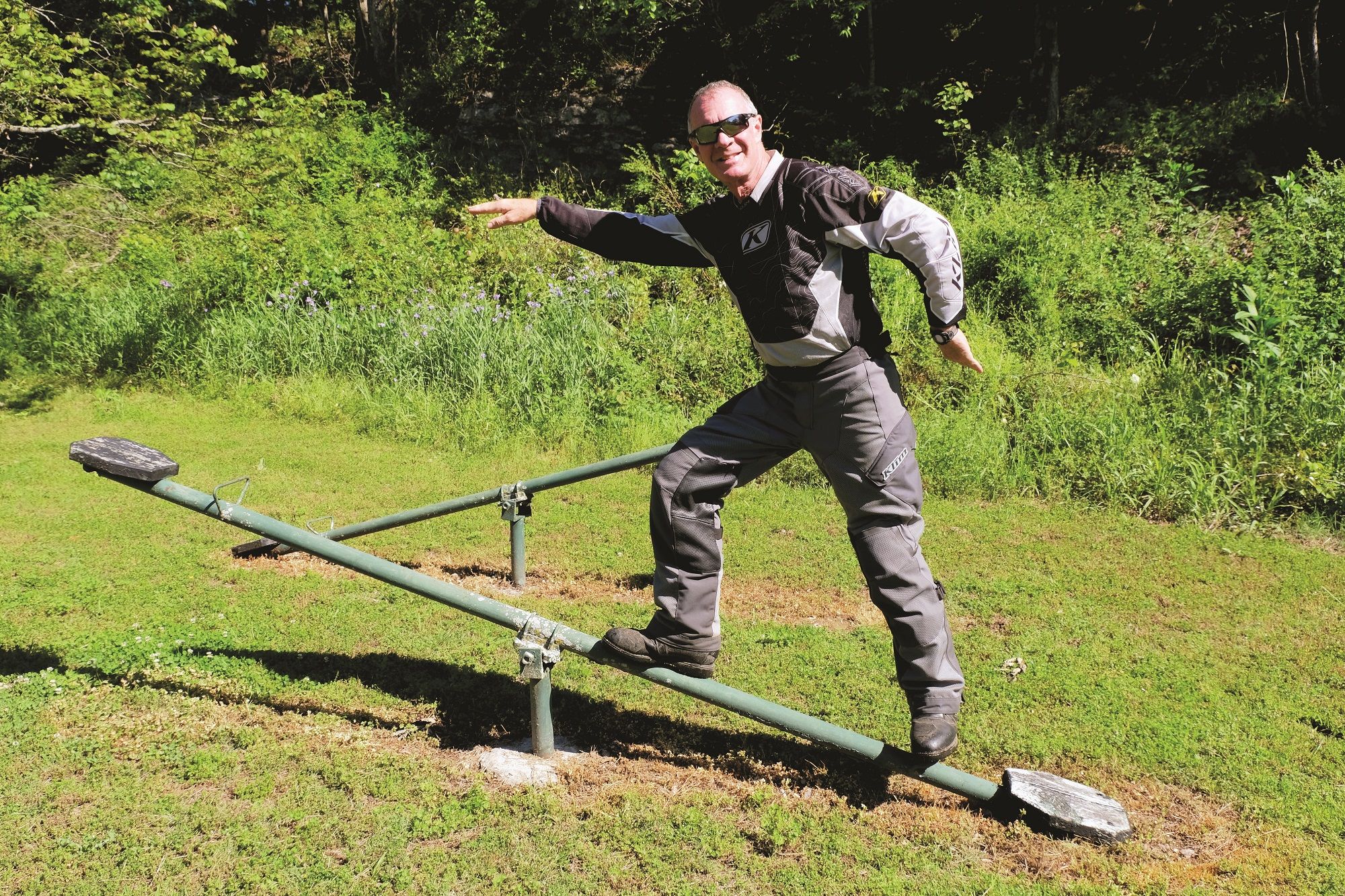
The Green Country Oklahoma Adventure Tour (GOAT)

Ahead, the old stagecoach road is rough and rocky. I jump off the motorcycle, camera in hand, to capture Bill as he begins the climb. Remounting, we both stand on the pegs to allow the bike to move beneath us. With no handlebar to grasp, it’s a position that feels decidedly unnatural for me as a passenger, but it’s the most effective way to get through this terrain. I marvel as Bill calmly picks his way through the ruts and ledges of this vintage byway. It’s our first day on the Green Country Oklahoma Adventure Tour (GOAT), and at the moment it’s living up to its name on this stony goat trail of a road.

Oklahoma roads are seldom considered interesting. In the central and western parts of the state, they are laid out on a grid of one-mile sections, a legacy of the surveys done in preparation for the distribution of “Unassigned Lands” to settlers who came via pony and prairie schooner to claim plots of land beginning in 1889.
But eastern Oklahoma is a different story. Native American tribes were relocated here from the eastern U.S. early 19th century onward. Most of the present state of Oklahoma was then called Indian Territory. Unlike the flatter, dryer western landscape, the east is hilly and verdant. The Ozark plateau stretches over from Arkansas into northeastern Oklahoma and, farther south, the Ouachita Mountains provide an even craggier landscape. As a consequence of the terrain and the history of this region, the roads—once foot trails, wagon roads, stagecoach roads, and military roads—are a playground for motorcyclists.
Wonderful paved twisties and miles of dirt-and-gravel backroads pervade the hills and hollows, flowing through this sparsely populated countryside. The feeling is one of remoteness, even if you’re never very far from a stretch of pavement that will get you to an outpost of civilization.

Spring Green and Clear Streams
It’s the middle of May when Bill and I tackle the GOAT, which assembles nearly 500 miles of these eastern Oklahoma backroads into one big loop. The route was developed by Daniel Sawin, a motorcyclist and UPS driver based in Vinita, OK. Who would know the best byways better than a pilot of the big brown truck? Sawin released the route in early 2020, and it quickly grew popular.
Spring is when Green Country, or northeastern Oklahoma, earns its tourism-inspired name. The hills are awash with dense green hardwoods whereas meadows, at least where wildflowers have not overtaken, shine a lighter but no less intense shade of verde. Streams are full to bursting from spring rains, and low-water crossings are covered in layers of slippery green algae. All perfect ingredients for a mild and scenic adventure.
We pick up the trail at its most southwesterly point, the dam at Tenkiller Ferry Lake. Our plan is to travel the route counterclockwise to the farthest northeast corner of our state, nipping into Missouri and Arkansas. We leave the pavement a few miles east of Tenkiller State Park, thankful the dirt roads are freshly graded after recent showers. Our senses are quickly overwhelmed with sweet fragrances of honeysuckle and newly mown grass. Wild roses clump over fences on the roadside, adding their aroma, all enhanced by the warmth of the sun. We skirt a ridge and ride down into a hollow, a pattern we will repeat many times over the next three days.
