Part II: New York Waterways

In 1808, while still mayor of New York City, De Witt Clinton began championing a grand vision: a system of canals providing the first all-water commercial shipping link from western New York and the Great Lakes to New York City, and from there to the rest of the world. At the time, many considered "Clinton's Ditch" to be a huge folly. Even President Thomas Jefferson, a fount of great visions himself, considered the idea of a 340-mile long, hand-dug canal from Albany to Buffalo to be "just short of madness." Nevertheless, in 1817, Clinton, now governor of New York, convinced the legislature to begin funding construction of the Erie Canal.
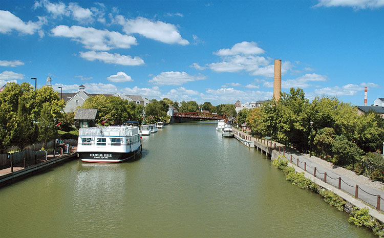
Still, given all of the negative press and sentiments of the times, the project took form and one of the greatest engineering marvels of its day, the Erie Canal, was completed in 1825, after eight years of incredibly torturous labor. The construction of other New York canals soon followed and within a few years, by 1840, New York City had surpassed Philadelphia as the nation's chief seaport. New York was well on its way to becoming the "Empire State." And though most canals in America have long since vanished from the landscape, the New York Canal System lives on, enduring in the 21st century as a powerful magnet for tourism and recreation.
Thursday: To Ticonderoga
After leaving the Eisenhower Locks in Massena, NY, we're ripping along US 11 east, following the general route of the historic Military Trail. Countries vying for control of the New World used many of the upstate New York waterways to conduct their military campaigns, and the relatively flat terrain between Massena, on the St. Lawrence River, and Lake Champlain provided the shortest overland route for armies portaging from one waterway to another.

Near the Canadian border, air temperatures remain cool. The Adirondack Mountains rise majestically to our south, but a line of ominous clouds trailing us eastward induces a slight alteration to our intended route once we arrive on the shore of Lake Champlain at Rouses Point, NY. Rather than immediately taking the route of the Lakes to Locks Passage south to Plattsburgh, NY, we cross over an arm of Lake Champlain on US 2 and follow it south onto Grand Isle, Vermont. The lake is visible on our right and left and the mountains dramatically frame both sides of the Champlain Valley.
Rain showers overtake us nonetheless, but they stop soon after we don our rain gear. We follow SR 314 to the Grand Isle Ferry and board it with another motorcyclist and several cars. During the 15-minute crossing to Plattsburgh, New York, my eyes scan the placid waters for any hint of the mythical sea monster "Champ," reputed to dwell within this deep glacial lake.
Reuniting with the Lakes to Locks Passage on US 9 south, we are surrounded by a bucolic landscape, and several miles south of Keeseville the Lakes to Locks Passage directs us onto SR 22. This road is both less traveled and more curvy - always an excellent combination.

Twelve miles south of Plattsburgh, NY, a bridge carries us several hundred feet above what some call the Little Grand Canyon of the East. It's Ausable Chasm, which is about two miles long, ranging from 100 to 200 feet deep, and carved out over eons by the raging torrents of the Ausable River. Rainbow Falls, the highest of three waterfalls in the chasm, plunges 75 feet, creating a billowing cloud of mist in the afternoon sun. After parking our bikes, we peer over the bridge railing at the boiling cauldron of water slicing through sheer cliffs of Potsdam Sandstone. No wonder people come here from all over the world to see this stunning work of nature.
Pressing on to Ticonderoga, NY, we ride into rain again. Not to be fooled twice though, we put off climbing into our rain gear for a while. But instead of another brief shower, the sky hammers us with a deluge - and now, too drenched for any scraps of water repellence to matter much, we've also lost our way in the fading light. Backtracking, we finally find Ticonderoga and shelter in modest accommodations.
