Minot, North Dakota Shamrock Tour®
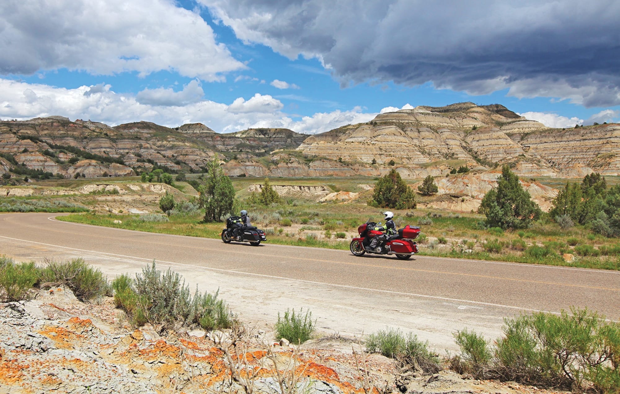
I’m not sure what I expected North Dakota to be before my first visit, but lakes certainly weren’t on my list. Crossing the border from Montana on a hot July day, the first thing I notice is how often my riding partner Holly and I are seeing boats, parked beside houses and pulled behind trucks. They’re seemingly everywhere in the midst of what looks like a vast and open prairie devoid of water. It’s the first of many ways that the state would defy our expectations. North Dakota is a land of surprises.
Motorcycle tours through North Dakota commonly follow the I-94 corridor through Bismarck in the lower third of the state between Montana and Minnesota. To get a better feel for what the state has to offer, we decide to explore “north” North Dakota—the top two-thirds. A prime base for a northern North Dakota Shamrock Tour® is Minot in the heart of the state’s oil and farming country.
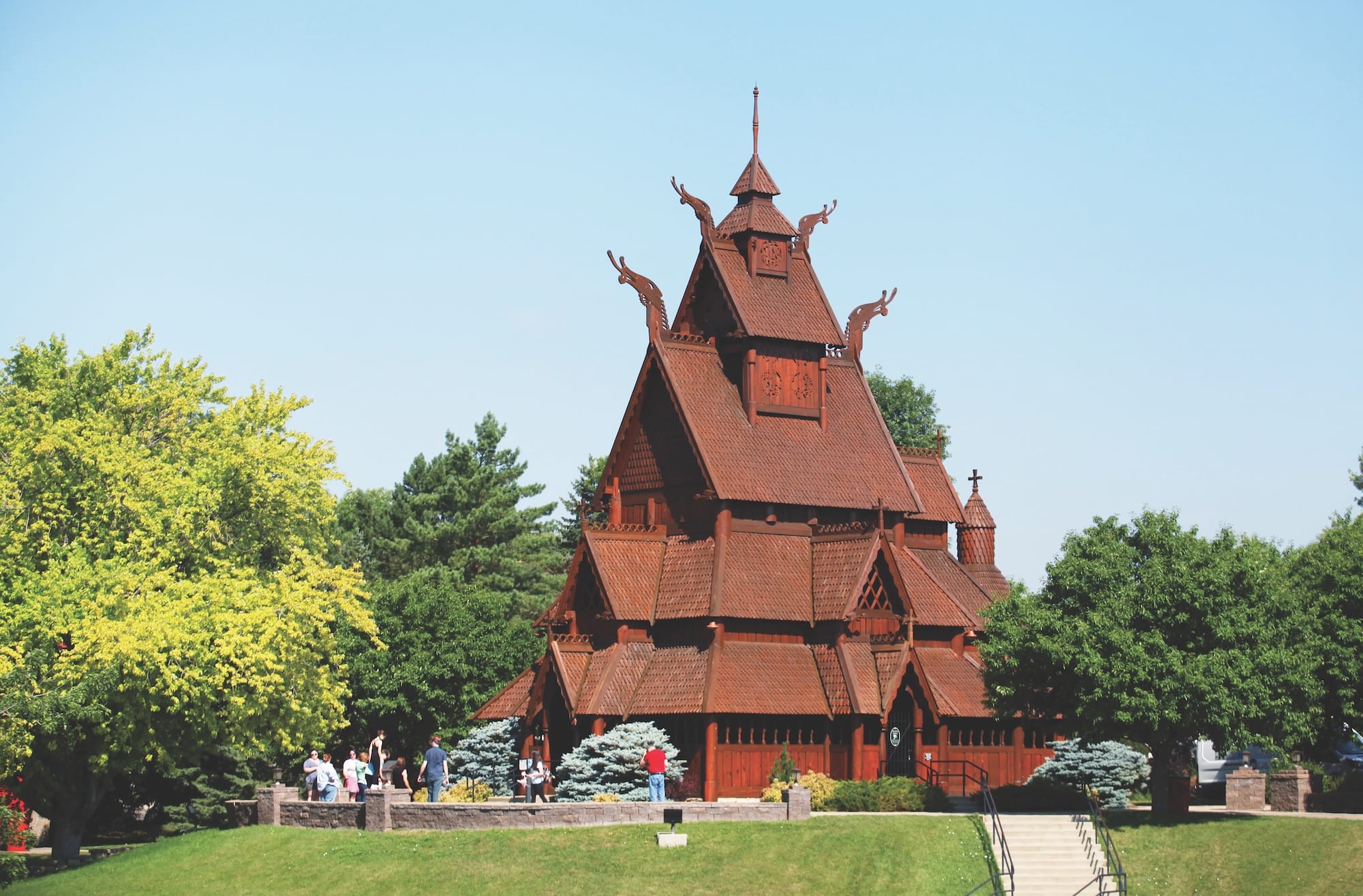
Minot got its Magic City moniker from the fact that it seemed to appear overnight as a tent camp for the construction of the Great Northern Railway. Its proximity to Canada, which made it a bootlegging hub during Prohibition, earned it the moniker Little Chicago. In the second half of the 20th century, a major Air Force base constructed nearby shaped the city’s trajectory. With a population of just under 50,000, Minot’s amenities belie its size, with things like an art museum, an opera company, and a zoo within the city limits. Add in a culture shaped by Scandinavian heritage, and you have quite a unique base of operations.
Motorcycles & Gear
2025 Indian Chieftain Powerplus
2025 Indian Roadmaster Powerplus
Helmet: Schuberth S3
Jacket & Pants: Klim Altitude, Klim Latitude
Boots: Belleville Ultra Light Assault Boot, Altama Abootabad Trail
Gloves: Tourmaster Switchback, Klim Induction
Comm System: Schuberth SC2
Camera: Canon 7D Mk II, Canon 5D Mk II
History and Scenery
To get acquainted with the history and culture of the region, our first loop takes us south of Minot. US 83 leads us straight to Lake Sakakawea. The second largest artificial lake in the U.S., it was created by damming the Missouri River. After crossing the causeway, we turn right onto SR 48. Right after we pass through Riverdale, we cross the Garrison Dam, the fifth-largest earthen dam in the world, that bottles up the lake. Pulling into the wayside, a series of placards give the history of the dam project and the lake.
Skirting the edge of Lake Sakakawea before turning south, we’re on the Lewis and Clark National Historic Trail. Our first stop is at the Knife River Indian Villages National Historic Site. Located on a bluff above the Knife River, the site was once a series of Hidatsa villages. Just outside the museum is a reconstructed earth lodge, representative of the nearly 200 that once filled the area. The walk from the visitor center to the river borders a field filled with yellow sweetclover and red-winged blackbirds.
Now riding the Sakakawea Scenic Byway, our next stop is the Fort Clark State Historic Site. The location of another Native American village, named after the trading post that was built there. Not much of the village is left, with markers pointing out where structures once were.
Continuing on the scenic byway, right before SR 200 crosses US 83, we turn left to visit the Lewis and Clark Interpretive Center. Run by the state, it chronicles the Lewis and Clark Expedition, focusing on the winter of 1804-1805 the group spent near the center’s location in Washburn, with maps, films, and original artifacts. Just down the road from the location is Fort Mandan. The log fort has been reconstructed near its original site, and guided tours take you through the day-to-day life of the explorers.