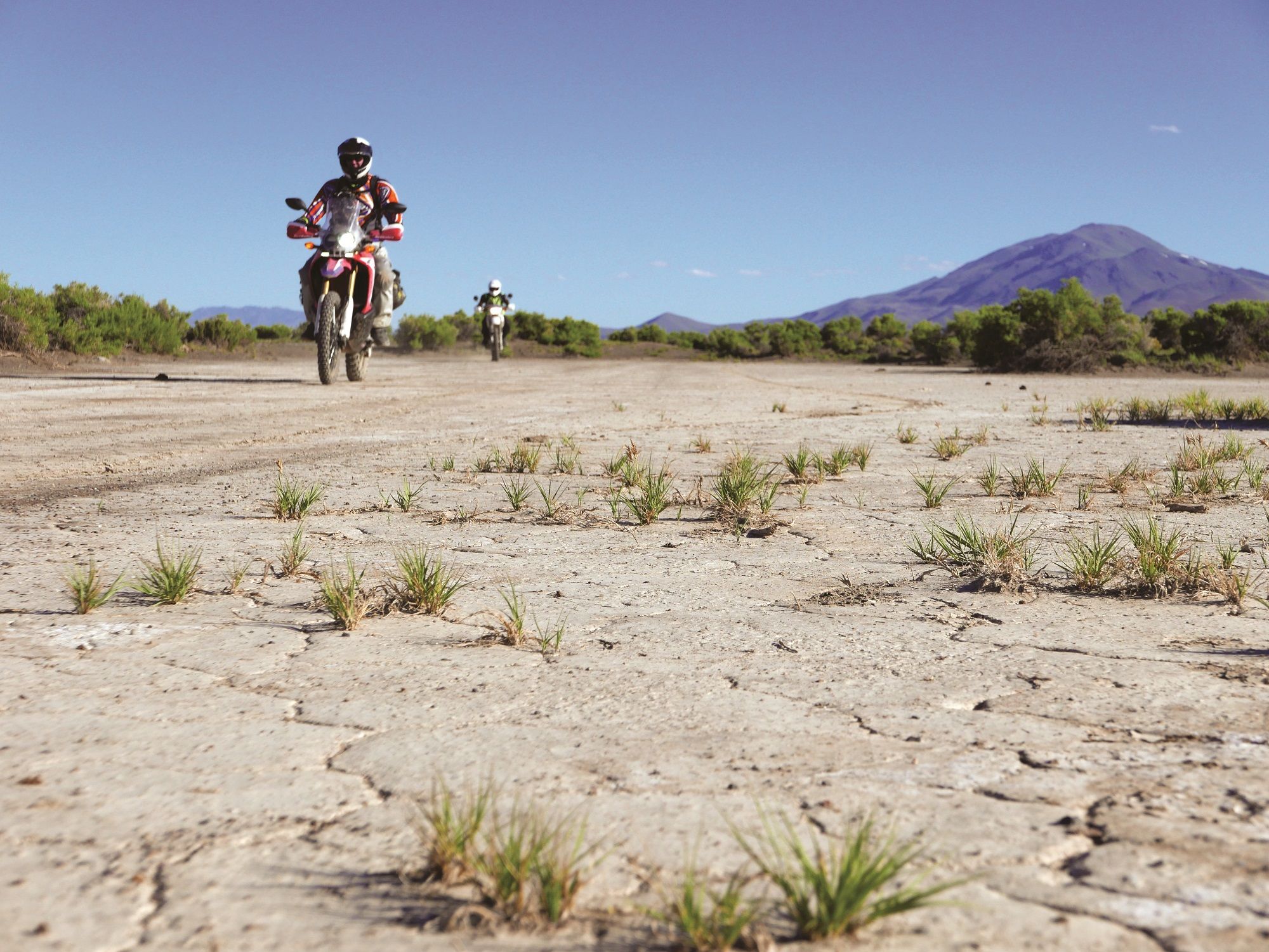
Southeast Oregon


The whooping sound of a Wilson’s snipe, a small sandpiper, jolted me out of my slumber. As my senses started to boot up, I struggled to recall where I was. Peeking out of my roof-top tent and seeing the sagebrush-covered hill and our dusty motorcycles, I remembered that we had a transit day yesterday, relocating from Hart Mountain to our current location, Willow Creek Hot Springs, in remote southeast Oregon. My friend John, who was asleep in the back of his SUV, and I have been completing adventure tours together for 20 years, but this trip was different. Both motorcycles had been transported on hitch carriers behind our vehicles to this campsite. After years of riding bigger adventure bikes, we both downsized to 250s, with me riding a 2017 Honda CRF250L Rally and John a 1994 Honda XR250.
You Can’t Get There from Here—Directly!
After a quick breakfast, we rode towards the Pueblo Mountains on the Oregon-Nevada border. Following my supposedly foolproof three-map-verification route system, we rolled southwest toward Denio, NV. Old Whitehorse Ranch Rd took us up and down over small hills with sandy washes. Denio slowly came into view, and then the road abruptly ended! We looked at the map, which showed it connecting through, but we were clearly going no further on this route. The Bureau of Land Management (BLM) map showed another road going southwest, which would put us back on the highway close to Denio, but first we had to backtrack eastward. Finally, we arrived in Denio where we planned to top off on fuel—except the store was dry! When traveling in the outback, always have a Plan B.
After verifying that we wouldn’t run out of fuel, we pointed the little 250s west on SR 140 toward our turnoff into the Pueblo Mountains, to a place called Propeller Meadows. My Garmin Montana GPS showed the way on its little screen as we moved across the desert, heading northwest into the hills. After a quick stop at an old mine shaft, we started ascending in elevation along very rough gravel tracks.
Propeller Meadows is the crash site of a B-24 Liberator military airplane that went down during a routine navigation training mission on February 9, 1945, killing all 11 on board. Our GPS waypoints guided us along the rough roads, revealing blooming wildflowers as we gained altitude. Greens, yellows, and purples, along with the browns of the desert floor and the vivid blue sky, highlighted the perfection of nature in its pure form. Ruts, rocks, and steep grades kept us focused as we traversed deeper into the mountains and we both wondered whether we would make it to the crash site.

As we closed in on the location, there were two final steep, loose rocky sections. John was smart and brought hiking boots, so he opted to stop and hike the rest of the way. I managed to muscle my little 24 hp machine up the climbs and rounded the last corner to see the crash site come into view. Scanning the meadow revealed several engines and miscellaneous parts scattered across a large area. Even after 75 years, the churned-up ground showed evidence of a hard crash. A plaque told the story of the flight and the tragic loss of life. As we walked somberly through the debris of engines, melted aluminum, and fuselage parts, we couldn’t help but also notice the incredible rugged beauty of this place.