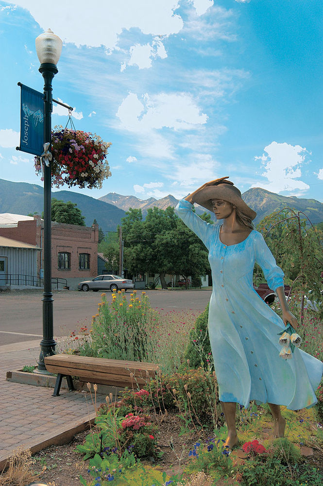
The Land Chief Joseph Lost
On a blue-sky July day in tiny Joseph, Oregon, a carpet of golden grassland stretches north to the horizon, hemmed by a line of sturdy, white-topped mountains. So much land, so few people. You'd think there would have been enough to go around. And there almost was. Until some shiny yellow metal showed up.
It's easy to see why Chief Joseph was reluctant to leave the beautiful Wallowa Valley. Blessed with a network of sparkling rivers and creeks fed from the surrounding ranges, the vast fertile plain spreads between the Wallowa Mountains and Summit Ridge, the precipitous cliff that lines Hell's Canyon to the east. The valley drains north along Rattlesnake Canyon into the Snake River system on the Idaho border. The altitude (around 3,500 feet) moderates the summer heat, and spring snowmelt replenishes the soil, while the Blue Mountains fend off the searing winds of Oregon's central plain. It's a small piece of paradise.
So thought many pioneers on the Oregon Trail, following what is now the Interstate 84 corridor northwest between the Snake and the Columbia. Turning north along the Grande Ronde River and around the Wallowas, many stopped here and settled the sweeping grassland.
But this was the traditional territory of the Wallowa Band of the Nez Perce Indians. At first, the sociable native people lived alongside the newcomers, helping them, just as they had helped the Lewis and Clark and John Jacob Astor expeditions on their treks west. But as more settlers arrived, this peaceful coexistence was destined to end.
My base for this tour is Baker City, in the lee of the beautiful Blue Mountains. Severe shadows darken the pavement in the low-angled morning sunlight as I step out of the downtown Bridge Street Inn, a quieter and less expensive place to lodge than the garish, shoddy motels lining I-84 a mile or so away. I stow my gear on the Tiger and cruise Main Street, gaping at the grand century-old stone storefronts. Baker City grew up as a stopover where the Oregon Trail crossed the Powder River and might have remained just that if gold hadn't been discovered in the area in 1861. By 1866, it was the county seat, growing rapidly to become the most populous town in the Oregon Territory.
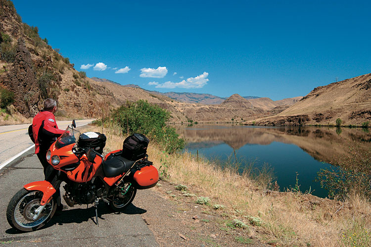
Heading east out of Baker on Oregon 86, following the Powder as it winds over shallow, barren brown hills before entering a twisting canyon, I get the impression I'm climbing because the canyon narrows and its walls grow steeper as I ride. In reality, the Powder is winding down to the Brownlee Reservoir near Richland, where it drains into the ubiquitous Snake.

The canyon opens onto broad plains of waving grasses near Richland, and 86 turns north toward Halfway, almost in the foothills of the Wallowas. When the settlement gained its post office in the 1880s, the proprietor Alex Stalker gave the community its practical name because it was halfway between the post office in Pine and another at the north end of the Pine Valley.
I cruise Halfway's narrow main street looking for a breakfast stop. Two Harleys are parked outside the saloon, but needing more than liquid refreshment, I try the Stockmen's Restaurant. Their special breakfast, a spicy hash with eggs, is undeniably hearty, but swimming in a crimson pool of pungent grease.