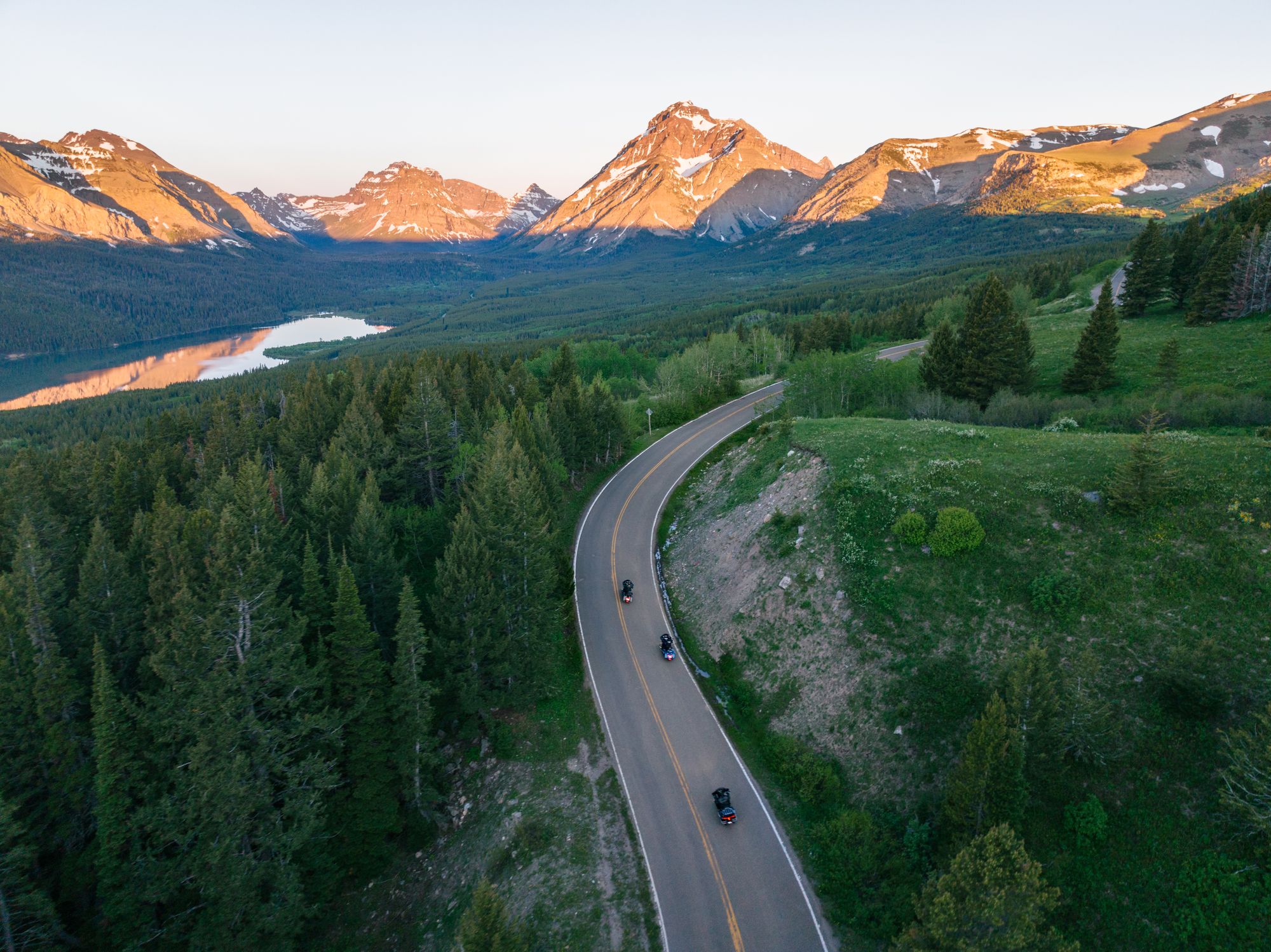
Glaciers to Geysers: Ride the Best of Montana

Some of the most stunning scenery in the world lies in the landscapes between Glacier and Yellowstone national parks. Montana's open highways, scenic byways and backroads of discovery offer the two-wheeled trip of a lifetime.
The best riding in Big Sky Country can be found on a “Glaciers to Geysers” park-to-park adventure from Western Montana's Glacier Country through Southwest Montana to Montana's Yellowstone Country, where epic terrain and stunning scenery overflow from the breathtaking national park landscapes that anchor each region. All three areas deliver world-class riding among premier small towns and pull-over-worthy attractions. Hitting the pavement and exploring two of the country's most exceptional national parks—and the incredible landscapes between them—is altogether unforgettable.

The Beartooth Highway (seasonal)
Often referred to as the most beautiful drive in America, the Beartooth Highway is one scenic route to cross off your bucket list. From the destination mountain town of Red Lodge to the small outposts of Cooke City and Silver Gate at the Northeast Entrance of Yellowstone National Park, travel this National Scenic Byways All-American Road (U.S. Highway 212) west for 68 miles of sublimely picturesque switchbacks through the Absaroka and Beartooth mountain ranges. You’ll find numerous scenic pull-outs and views of 20 peaks towering over 12,000 feet. Pull over and explore alpine plateaus, glacial lakes, forested valleys and pristine waterfalls, and climb Beartooth Pass at 10,947 feet—which is the highest drivable point in the state. Thirty-eight miles from Red Lodge you’ll reach the “Top of the World” where you can stop to take a breather and fuel up. Just before the park you’ll reach Cooke City (make sure to visit the General Store) and Silver Gate (don’t miss the Stop the Car Trading Post). Check seasonal road status here.

Southwest Montana Tour
Ride some of Montana’s favorite backroads through wide-open spaces and charming small communities. You’ll discover historical sites, stunning natural features and opportunities for blue-ribbon fishing along this 130-mile loop. Starting in Ennis, take State Highway 287 west and begin your trip by exploring the ghost towns of Virginia City and Nevada City along Alder Gulch, featuring living history, live theater, tours, dining and more. From there, head toward Twin Bridges, where you’ll take State Highways 41/55/69/2 to Lewis and Clark Caverns State Park. Consider a scheduled tour—these are the most decorated limestone caverns in the western U.S. After the caverns, you’ll backtrack slightly on State Highway 2 heading west to Caldwell, where you’ll turn south toward Norris Hot Springs. End your trip with a relaxing hot springs soak.

Going-to-the-Sun Road (seasonal)
Between St. Mary and West Glacier, ride from one end of Glacier National Park to the other on the 50-mile-long Going-to-the-Sun Road, an engineering marvel and National Historic Landmark. You’ll see jagged mountain peaks, alpine lakes, cascading waterfalls, expansive valley views and, chances are, wildlife.
Crest the Continental Divide at Logan Pass, known for wildflowers, mountain goat sightings and the rocky cliffs of the Garden Wall. You’ll find a visitor center and a short 1.5-mile hike to Hidden Lake Overlook here, too. This route—one of the most spectacular in the country—offers plenty of places to pull over and take in the breathtaking vistas or hit the trail. You’ll experience steep elevation changes and some hairpin turns. From Browning, head to St. Mary Lake and take in the incredible 4,500-foot peaks before you begin your “ride to the sun.” Check seasonal road status here. Vehicle reservations are required during peak season. Find out more here.
Plan your trip today. Visit GlaciersToGeysers.com for maps, itineraries, and to order your Motorcycle Guide. Please recreate responsibly: plan ahead, tread lightly, and leave no trace.